-
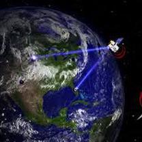
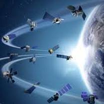
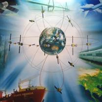
專業的大地測量及衛星定位課程
你可以在這裡學習到衛星導航(Satellite Navigation)、大地測量(Geodesy)、全球定位系統(Global Positioning System)、全球導航衛星系統(Global Navigation Satellite Systems)等課程知識
-
高科技攝影測量及遙感探測
搭配最新昂貴精密儀器,你將學習到含括衛星遙感探測(Remote Sensing)、航空與近景攝影測量(Aerial and Close-range Photogrammetry)、航空與地面光達雷射掃描(Aerial and Ground-based LiDAR)....等專業知識與技術
-
空間資訊科學應用無限,潛力驚人
您可以學到數碼城市(Cyber City)、地理資訊系統(Geographical Information Systems)、空間資訊科學(Geospatial Information Science)、計算機圖學(Computer Graphics)....等最專業的課程知識。


