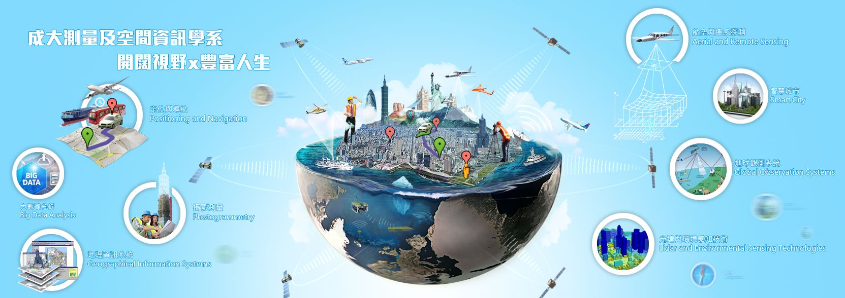
空間社會科學實驗室 Spatial Social Science Laboratory
[簡介]
主要研究各種人類活動與社會科學之時空分布之實驗室。
[創立背景]
「科技始終來自於人性!」,所謂人性科技必須先了解人類的行為、活動與需求。 然而,超過百分之八十的人類活動資料都含有空間資訊。透過智慧型手機的普及,感應器與監視系統等科技發展與社群網站的興起,人類每天的活動資訊正悄悄地被記錄下來。再加上政府推動的OPEN DATA政策,社會經濟與自然環境的空間資料開放上網。這兩者透過時空資訊結合後,豐富的人類與環境互動資料可供學界分析研究其態樣,並應用於後續政府的工程管理或政策擬定。
[研究方向與未來展望]
本實驗室主要研究方向與執行的計畫係將應用空間統計與地理資訊系統,研究人類各項的空間行為與周遭環境之間的關聯性。
- 巨觀角度:就現有總體資料庫:如酒駕肇事資料庫、犯罪資料庫、飲酒店位置資料等,結合開放之GIS圖層與社會經濟資料,透過空間迴歸與資料探勘等技術,尋找其相關性並發展時空預測模型。結果可應用於後續環境之設計與人力規劃上,如都市規劃、路網設計或警力配置等。
- 微觀角度: 持續蒐集或擴充個體之感測器或軌跡資料:如連續性侵犯犯案位置、智慧農業文心蘭溫溼感應器或是電子腳鐐資料庫等,透過時空檢定與軌跡分析等,尋找其特性並監控管理策略。
- 其他:高精度地圖
未來長期研究計畫希望能應用空間分析技術及Location Based System至其他人類活動之空間資訊;並與其他測量工程、地質與衛星通訊之研究室合作,共享研究資源。本計畫預期發展的預測模型能有效且準確地分析人類行為與相對應時空環境之可能反應與關係,提供管理者與政府未來規劃與工程建設參考依據。
[實驗室守則]
本實驗室主要研究方向與執行的計畫係將應用空間統計與地理資訊系統,研究人類各項的空間行為與周遭環境之間的關聯性。
- 請妥善保存實驗室設備資料與各項資產
- 遵守學術倫理物抄襲與作假等行為
- 遵守教授指導勿抄襲
- 研究成果與資料為實驗室資產請勿外流請依主持老師規劃不可私自發表
- 研究過程請備份建檔,日後需將成果發表並整理轉交給學弟妹
The Spatial Social Science Laboratory believes that one of the best ways of applying GIS (Geographic Information Systems) is on analyzing the relationship between human spatial-temporal behavioral patterns and the surrounding environment. With the rapid development of smartphones and sensor technologies, the rise of social media, and government open data policies which makes tons of spatial datasets of socio-economic and human-environment interactions available over the internet, further academic analysis can be done to design business strategies, and provide references for the government’s policy development.
Indicated below are current research topics associated with the laboratory:
Crime and Risk Analysis
Using the Spatial Regression Model on crime, crash, and alcohol outlet location datasets, GIS models are created to analyze spatial-temporal patterns to predict crime hotspots, define risk factors and potential escape paths. The results can be used by local authorities for patrol routes, CCTV installations, and enforcement.
Smart Agriculture
Designing the best installation location of IoT (Internet of Things) sensors in an orchid greenhouse to collect weather information for smart agriculture.
Human Movement (Tourism)
Combining mobile phone and bike-share datasets with Pokemon Go safari event stop points, an estimate of the number of tourists (particularly Pokemon Go enthusiasts) and a simulation of their movements in Tainan, Taiwan is computed.
Human Movement (Medical)
Applying object detection techniques to CCTV footages and integrating it with GPS sensor data, a mapping system is developed to help the elderly who have dementia (a brain disease that causes a long-term and gradual decrease in the ability to think and remember) to travel.
Future research programs include the application of spatial analysis on other human activities. Expected generated models from those programs can effectively and accurately analyze the possible relationships between human behavior and the corresponding space-time environment. Its results can be used as a reference for future planning by the Government or Private Institutions.
郭佩棻 (PEI-FEN KUO)

E-mail: peifenkuo@gmail.com
[PROFESSIONAL EXPERIENCE]
2017/8 – Present Assistant Professor, Department of Geomatics, National ChengKung University
2014/8 – 2017/7 Assistant Professor, Crime Prevention and Corrections, Central Police University
- Define the Characteristics of Traffic Accident Victims (應用被害者學與資料探勘技術分析車禍被害人特性與後續服務需求), PI
- Building Macro-Level Crime Prediction Models Using Data Mining Techniques (以資料探勘技術建立巨觀犯罪預測模型), PI
- Implementation in Taiwan of the Data-Driven Approaches to Crime and Traffic Safety (DDACTS) Model (評估犯罪與肇事資料導向執法(DDACTS)在台推行之成效研究), PI
- Crime Prevention by Analyzing Offending, Habitual Offenders, and Cross-border Crime Trend with Big Data in Taiwan (臺灣地區犯罪、常習犯、及跨境化趨勢與防制之巨量資料研究), Co-PI
2013/7 – 2014/7 Post-Doctoral Research Associate, Civil Engineering, University of Central Florida
- NCHRP 17-62: Improved Prediction Models for Crash Types and Crash Severities
- FDOT Project: Two Level Approach to Safety Planning Incorporating
the Highway Safety Manual Network Screening
2012/5 – 2013/6 Post-Doctoral Research Associate, Texas A&M Transportation Institute (TTI)
- Investigated the relationship between on-premise digital signs and crash counts for the SFI project “Statistical Analysis of the Relationship between On-Premise Digital Signage and Traffic Safety”
2007 – 2012/5 Graduate Research Assistant, TTI
2004 – 2007 Engineer, Civil Aeronautics Administration, MOTC (TAIWAN)
[EDUCATION]
2007 – 2012 PhD, Civil Engineering, Texas A&M University (Advisor: Dominique Lord)
2001 – 2003 Master of Science, Transportation Engineering Division, National Taiwan University
1997 – 2001 Bachelor of Science, Civil Engineering, National Taiwan University
[SPECIAL SKILLS]
Computer skills: R, ArcGIS, Python, Rattle, MySQL, Arduino, WinBUGS, SAS, SPSS, GeoDa
[RESEARCH INTERESTS]
Spatial Statistics and GIS Applications, Spatial Data Mining and Modeling, Environmental Criminology, Police Patrol Management, Public Safety and Risk Analysis, Bayesian Statistics, Time Series Analysis
[MEMBERSHIP IN PROFESSIONAL SOCIETIES]
The Chinese Society of Criminology, Committee Member
The World Conference on Transport Research Society (WCTRS), Member
Transportation Research Board (TRB), Member
目前成員 (Current Members)

尹杰德 / I Gede Brawiswa Putra
碩士班109級 / 博士班
Data Analyst, Spatial Statistic, GNSS Surveying
brawiswa@gmail.com
CONFERENCE PROCEEDINGS
- 40th Asian Conference on Remote Sensing (ACRS 2019) Daejeon, South Korea
Title: Spatial Analysis of The Air Pollution Effect on Domestic Violence and Robbery in New South Wales
CONFERENCE PAPER
- Kuo, P., Gede Brawiswa Putra, I., Ilmy, H. F., Chiu, C. S., & Wu, C. Y. (2018). Defining the related environmental risk factors for motorcycle theft crimes. 2550-2559. Paper presented at 39th Asian Conference on Remote Sensing: Remote Sensing Enabling Prosperity, ACRS 2018, Kuala Lumpur, Malaysia.
- Kuo, P., Hsu, T. P., Gede Brawiswa Putra, I., Ilmy, H. F., Chiu, C. S., & Wu, C. Y. (2018). Defining the effects of traffic violations on crash frequency by applying a spatial panel model. 2126-2135. Paper presented at 39th Asian Conference on Remote Sensing: Remote Sensing Enabling Prosperity, ACRS 2018, Kuala Lumpur, Malaysia.
PUBLICATIONS
- Kuo, P. F., & Putra, I. G. B. (2021). Analyzing the relationship between air pollution and various types of crime. PLoS one, 16(8), e0255653.
- Kuo, P. F., Huang, T. E., & Putra, I. G. B. (2021). Comparing kriging estimators using weather station data and local greenhouse sensors. Sensors, 21(5), 1–15.
- Putra, M & Nuarisanti, I & Sulistyah, Umroh & Putra, I Gede Brawiswa & Utama, Wahyudayanto. (2018). Analysis of flood by using river flow map from landsat 8 imaging to mitigate flood and the use of bamboo planting to prevent the flood study case: Kemuning river, Madura. IOP Conference Series: Earth and Environmental Science. 202. 012013. 10.1088/1755-1315/202/1/012013.
- Putra, M & Nuarisanti, I & Sulistyah, Umroh & Putra, I Gede Brawiswa & Utama, Wahyudayanto. (2018). Analysis of karst potential using Landsat 8 Imaging and DEM in the District of Sampang, Madura Island, East Java. IOP Conference Series: Earth and Environmental Science. 202. 012008. 10.1088/1755-1315/202/1/012008.
- Putra, I Gede Brawiswa & Cahyadi, Mokhamad. (2016). Analisis Ketelitian Penetuan Posisi Horisontal Menggunakan Antena GPS Geodetik Ashtech ASH111661. Jurnal Teknik ITS. 5. 10.12962/j23373539.v5i2.17159.
- Accuracy Analysis of Horizontal Position Determination using Ashtech Geodetic GPS Antennas ASH111661
- 陳徐賢、尹杰德、郭佩棻(2019)。空氣污染與不同類型犯罪行為之空間相關性-以澳洲新南威爾斯州為例。航測及遙測學刊,24(1),1-12。doi:10.6574/JPRS.201903_24(1).0001
蘇利葉 / Umroh Dian S.
碩士班 級 / 研究助理
umrohdians@gmail.com
許瑋庭 / Hsu, Wei-Ting (Joan)
大學部110級 /碩士班112級
weiting011@gmail.com
李怡葶 / Anya
大學部111級 /碩士班113級
anya103534@gmail.com
邰比莫 / Bimo
博士班 級
@gmail.com
馬愛瓦 / Dessy
碩士班113級
@gmail.com
已畢業成員 (Graduated Members)
 黃梓恩 / Huang, Tzu En (Neil)
碩士班110級
Smart Agriculture
neil860515@gmail.com
CONFERENCE PROCEEDINGS
- Asian Conference on Remote Sensing 40th (ACRS 2019) Daejeon, South Korea
Title: The Spatial-Temporal Effect of Weather on The Productivity of Oncidium Cut Flowers
PUBLICATIONS
- Kuo, P. F., Huang, T. E., &Putra, I. G. B. (2021). Comparing kriging estimators using weather station data and local greenhouse sensors. Sensors, 21(5), 1–15.
曹勤 / Tsao, Chin (Gina)
碩士班110級
Smart Parking, Smart Agriculture
ginatos@gmail.com
何哈法 / Hafsah Fatihul Ilmy
CONFERENCE PROCEEDINGS
-
Asian Conference on Remote Sensing 39th (ACRS 2018) Kuala Lumpur, Malaysia
Title: Defining the Related Environmental Risk Factors for Motorcycle Theft Crimes
-
2019 International Symposium on Remote Sensing (ISRS 2019) Taipei, Taiwan
Title: Determination of Wireless Sensor Network (WSN) Location for Greenhouse Environmental Monitoring System
-
Asian Conference on Remote Sensing 40th (ACRS 2019) Daejeon, South Korea
Title: The Spatial-Temporal Effect of Weather on The Productivity of Oncidium Cut Flowers
 邱垂盛 / Chiu, Chui Sheng (Sam)
大學部107級 / 碩士班109級 / 研究助理
Social media spatial data collection, trajectory data collection, gis app development
p66074117@mail.ncku.edu.tw
CONFERENCE PROCEEDINGS
- 40th Asian Conference on Remote Sensing (ACRS 2019) Daejeon, South Korea
Title: Integration of GIS, GPS And CCTV Into a Tracking App System: Developing a Search Tool for Missing Seniors with Dementia
- The 38th Conference on Surveying and Geomatics (SG38 2019) Taoyuan, Taiwan
Title: 共享單車費率政策變更對旅運行為影響之空間分析-以空間存活模型為例
- 2019 International Symposium on Remote Sensing (ISRS 2019) Taipei, Taiwan
Title: Defining the Sptial Relationship between Traffic Violations and Crash by Applying a Spatial Panel Model
- 2018 TGIS Annual Meeting and Technical Seminar (TGIS 2018) Taichung, Taiwan
Title: 以社群攀爬資料更新地圖資料-以餐廳地標為例
PUBLICATIONS
- Kuo, P. F., Shen, C. W., & Chiu, C. S. (2021). The impact of large-scale events: A difference-in-difference model for a Pokémon go safari zone event in Tainan and its effect on bikeshare systems. Transportation Research Part A: Policy and Practice, 149, 283-299.
- Kuo, P. F., & Chiu, C. S. (2021). Airline transportation and arrival time of international disease spread: A case study of Covid-19. Plos one, 16(8), e0256398.
- Kuo, P., Gede Brawiswa Putra, I., Ilmy, H. F., Chiu, C. S., & Wu, C. Y. (2018). Defining the related environmental risk factors for motorcycle theft crimes. 2550-2559. Paper presented at 39th Asian Conference on Remote Sensing: Remote Sensing Enabling Prosperity, ACRS 2018, Kuala Lumpur, Malaysia.
- Kuo, P., Hsu, T. P., Gede Brawiswa Putra, I., Ilmy, H. F., Chiu, C. S., & Wu, C. Y. (2018). Defining the effects of traffic violations on crash frequency by applying a spatial panel model. 2126-2135. Paper presented at 39th Asian Conference on Remote Sensing: Remote Sensing Enabling Prosperity, ACRS 2018, Kuala Lumpur, Malaysia.
3S Maker (3S創客競賽)
- 2018 佳作 Title: 老了一樣"行"-失智症初期患者知友善空間輔助APP
- 2017 簡報獎 Title: 台南餐廳網路聲量地圖
吳承諺 / Frank Wu
CONFERENCE PROCEEDINGS
-
40th Asian Conference on Remote Sensing (ACRS 2019) Daejeon, South Korea
Title: Defining the Spatial Impacts of Changing the Youbike Fees: A Case Study of Taipei's Elimination of the "First 30 Minutes Is Free" Policy
-
2019 International Symposium on Remote Sensing (ISRS 2019) Taipei, Taiwan
Title: The Spatial Relationships among Drunk-Driving Crashes and Various Characteristics of Alcohol Outlets
-
2019 TGIS Annual Meeting and Technical Seminar (TGIS 2019) Yilan, Taiwan
Title: A Spatial Analysis of Bike Sharing Usage with Price Policy
-
The 37th Conference on Surveying and Geomatics (SG37 2018) Taoyuan, Taiwan
Title: 共享腳踏車運量與觀光景點之時空關係 - 以台南市T-bike為例
3S Maker (3S創客競賽)
2018 佳作 Title: 老了一樣"行"-失智症初期患者知友善空間輔助APP
陳徐賢 / Ricky Chen
CONFERENCE PROCEEDINGS
- 2019 TGIS Annual Meeting and Technical Seminar Yilan, Taiwan
Title: 不同類型連續性侵犯之犯罪路徑時空分析
- Asian Conference on Remote Sensing 40th (ACRS 2019) Daejeon, South Korea
Title: Temporal and Spatial Analysis of Criminal Path of Different Types of Serial Sexual Offenders