-
Varied disciplines, Professional technology, Practical education, Eyes high
-
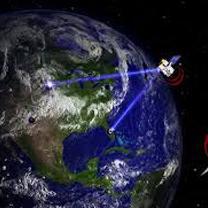
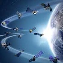
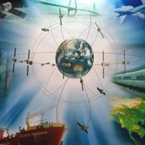
Professional Geodesy and Satellite Positioning Sytstems Courses
You will learn knowledge such as Satellite Navigation, Geodesy, Global Positioning System, Global Navigation Satellite Systems, etc.
-
High Technology of Photogrammetry and Remote Sensing
Equipped with newest precise equipments, you will learn knowledge such as Remote Sensing, Aerial and Close-range Photogrammetry, Aerial and Ground-based LiDAR
-
Abundant Extended Applicaitons of Geographical Information Systems
You will learn the knowledge of Cyber City, Geographical Information Systems, Geospatial Information Science, Computer Graphics, etc.
- Promotional Video
- About
- People
- Students
- Research
- Research Facilities
- Remote Sensing Laboratory
- Innovative Satellite Positioning Laboratory
- 3G Lab
- POINT Lab
- Geospatial Artificial Intelligence Laboratory
- Geodetic Science Laboratory
- ARSEM - Application of Remote Sensing for Environm
- Laboratory Of Cyber-City
- Intelligent Geographic Information System Lab
- Remote Sensing and Spatial Information Lab
- Monitoring and Analysis of Crustal Deformation Lab
- Spatial Analysis and Intelligent Management Lab
- MAGIC Lab
- Spatial Social Science Laboratory
- Geomatics & Environmental Health Lab
- Satellite Precise Positioning and Application Lab
- SCI Journals
- Research Facilities
- Resource
- Classroom Booking


