
Recent Research Directions
2016/04/07


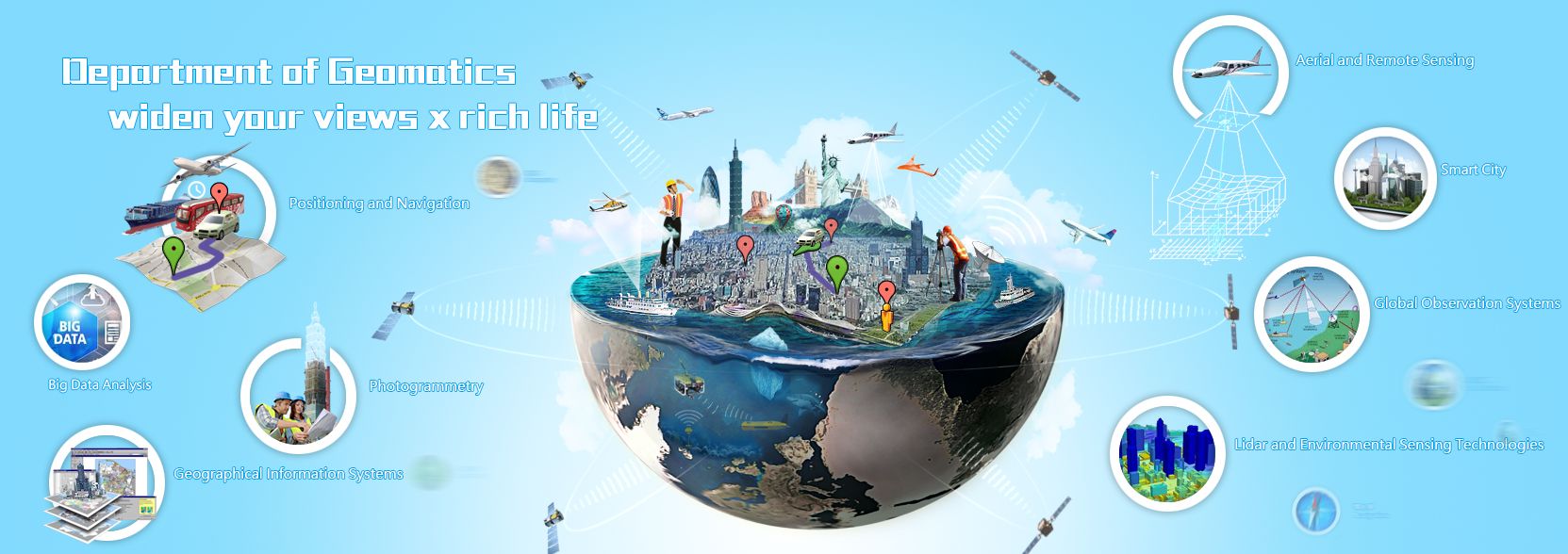
The application of modern technology in the spatial information industry involves acquiring, processing, integrating, analyzing, managing, and applying knowledge and information related to space. The US Department of Labor's career journey webpage once listed Biotechnology, Geospatial Technology, and Nanotechnology as the three emerging industries of this century, underscoring the future development potential of the geospatial technology industry.
Our department aligns with global trends and national engineering and information infrastructure policies to nurture 21st-century spatial information engineers and researchers. In undergraduate education, we strive to ensure that students have a comprehensive understanding of the fundamental theories and technologies of the field, laying the foundation for solving practical problems and further study. In graduate education, we aim to cultivate talents capable of independently exploring, processing, and analyzing deeper or specialized issues within the field, fostering innovative thinking, in-depth research, and integrated application.
Our department's recent developments focus on the following three areas:
Teaching:
Research:
Internationalization:
Our department aligns with global trends and national engineering and information infrastructure policies to nurture 21st-century spatial information engineers and researchers. In undergraduate education, we strive to ensure that students have a comprehensive understanding of the fundamental theories and technologies of the field, laying the foundation for solving practical problems and further study. In graduate education, we aim to cultivate talents capable of independently exploring, processing, and analyzing deeper or specialized issues within the field, fostering innovative thinking, in-depth research, and integrated application.
Our department's recent developments focus on the following three areas:
Teaching:
- Enhancing teaching and research equipment, updating and acquiring specialized equipment to meet the needs of both faculty and students in teaching and research.
- Strengthening the faculty, expanding the breadth and depth of student learning.
- Continuously improving teaching and curriculum content to enhance learning outcomes and introduce new technologies and knowledge.
- Promoting the concept of specialized programs, planning to establish disaster prevention and environmental monitoring programs in the School of Engineering to integrate related fields and cultivate interdisciplinary talents.
- Increasing English-taught courses to enhance students' international perspectives and competitiveness.
Research:
- Strengthening academic research capabilities and raising research standards to reach the top level.
- Actively seeking industry-academic cooperation research projects to enhance the integration of practice and theory.
- Developing various technologies needed by the industry to enhance the department's research capabilities and contribution to society.
Internationalization:
- Strengthening international exchanges, regularly inviting renowned foreign scholars for short-term lectures or speeches.
- Hosting international conferences and encouraging faculty and students to participate in international academic activities to increase the department's international visibility.


