National Cheng Kung University, Dept. of Geomatics,
Professor,
2016~present
National Cheng Kung University, Dept. of Geomatics,
Associate Professor,
2012~2016
National Cheng Kung University, Dept. of Geomatics,
Assistant Professor,
2006~2012
University of Mississippi,
Associate Researcher,
2005~2006
Dept. of Civil and Environmental Engineering, Cornell University,
Ph.D.,
2002~2005
Dept. of Civil and Environmental Engineering, Cornell University,
M.S.,
1999~2002
Dept. of Agricultural Engineering, National Taiwan University,
B.S.,
1993~1997
Remote Sensing, Airborne Laser Scanner, Terrestrial Laser Scanner,Bathymetric Lidar, Ocean Color, Spatial Statistics
Address: No. 1, University Road, Tainan, Taiwan
Email: chikuei@mail.ncku.edu.tw
Tel: +886-6-2757575 ext. 63825
| NO. | Project | Period | Funding | Function |
|---|---|---|---|---|
| 1. | Development of a drainage structure extraction algorithm from ALS point cloud data using road center line dataset(1/2) 研發基於道路中心向量資料之自動化萃取空載光達點雲資料內排水設施之方法(1/2) | 2019/08/01 - 2020/07/31 | MOST | PI |
| 2. | Automatic Image Recognition with Agricultural Subjects - A Case of Fruit Export Industry(2/3) 自動化影像辨識於農業標的物之研究-以外銷果品產業為例-自動化影像辨識於農業標的物之研究-以外銷果品產業為例(2/3) | 2019/07/01 - 2020/06/30 | MOST | Co-PI |
| 3. | Investigating the Relation Between ALS and TLS Derived Gap Fraction Map by Simulated Forests 以數值模擬方式探討空載光達與地面光達產製森林孔隙分佈圖之相關性 | 2018/08/01 - 2019/07/31 | MOST | PI |
| 4. | Automatic Image Recognition with Agricultural Subjects - A Case of Fruit Export Industry(1/3) 自動化影像辨識於農業標的物之研究-以外銷果品產業為例-自動化影像辨識於農業標的物之研究-以外銷果品產業為例(1/3) | 2018/07/01 - 2019/07/31 | MOST | Co-PI |
| 5. | Investigation of the estimate variation of forest gap fraction through the simulated terrestrial laser scanning data 以模擬地面光達資料探討森林孔隙率推估值之變異特性 | 2017/08/01 - 2018/07/31 | MOST | PI |
| 6. | Development of muti-mirror setup to improve the efficiency of multiple terrestrial laser scanning 研發以多面鏡設置改良地面光達多測站掃瞄方式 | 2016/08/01 - 2017/07/31 | MOST | PI |
| 7. | Understanding ALS Intensity by Considering BRDF and Laser Repetition Rate 探討地物BRDF與雷射發射頻率對於空載光達反射強度值之影響 | 2015/08/01 - 2016/07/31 | MOST | PI |
| 8. | Assessing and Correcting Leaf Area Index under Various Scanning Parameters of the Airborne Laser Scanner 探討空載光達掃瞄參數對於葉面積指數資料獲取之影響與校正 | 2014/08/01 - 2015/09/30 | MOST | PI |
| 9. | Development of Remote Sensing Inversion for the Extraction of Gravel Bed Roughness and Instream Surface Flow Type Classification 研發遙測技術獲取礫石河床粗糙度與河川表面流態分類 | 2013/08/01 - 2014/07/31 | MOST | PI |
| 10. | Development of through Water Photogrammetry of Multiple Images for Disaster Mitigation(3/3) 多影像匹配之透水攝影測量技術於災害防救之研發(3/3) | 2012/08/01 - 2013/07/31 | MOST | PI |
| 11. | Remote Sensing Technology Development for Regional Riverine Habitat Mapping and Land Cover Change Detection(3/3) 區域性河川棲地與地表變化偵測技術研發(3/3) | 2012/08/01 - 2013/07/31 | MOST | PI |
| 12. | Development of through Water Photogrammetry of Multiple Images for Disaster Mitigation(2/3) 多影像匹配之透水攝影測量技術於災害防救之研發(2/3) | 2011/08/01 - 2012/07/31 | MOST | PI |
| 13. | Remote Sensing Technology Development for Regional Riverine Habitat Mapping and Land Cover Change Detection(2/3) 區域性河川棲地與地表變化偵測技術研發(2/3) | 2011/08/01 - 2012/07/31 | MOST | PI |
| 14. | Development of through Water Photogrammetry of Multiple Images for Disaster Mitigation(1/3) 多影像匹配之透水攝影測量技術於災害防救之研發(1/3) | 2011/03/01 - 2011/07/31 | MOST | PI |
| 15. | Remote Sensing Technology Development for Regional Riverine Habitat Mapping and Land Cover Change Detection(1/3) 區域性河川棲地與地表變化偵測技術研發(1/3) | 2010/08/01 - 2011/07/31 | MOST | PI |
| 16. | Assessment of the Effectiveness of Spring Pits on Restoration of Urban River Ecosystem: Studies on Potential Ecological Benefit of Removing Streambed Pavement 湧泉坑對於都市型河川生態復育成效評估:拆除河床封底之生態效益先期研究 | 2009/08/01 - 2012/07/31 | MOST | Co-PI |
| 17. | The Development of Riverine Remote Sensing Techniques 河川遙測監測技術研發 | 2007/08/01 - 2010/07/31 | MOST | PI |
| 18. | Ocean Bottom Albedo Retrieval from Hyperspectral Data 利用高光譜資料推求海洋水底物質反射率 | 2006/09/01 - 2007/07/31 | MOST | PI |
| 19. | 高雄地區農地建物數化eCognition航照判識模組教學 | 2018/11/28 - 2018/12/20 | 行政院農業委員會農業試驗所 | PI |
| 20. | 山坡地三維資訊監測工作 | 2018/07/13 - 2018/12/10 | 行政院農業委員會農業試驗所 | PI |
| 21. | 農業數位化發展 (eConigtion農地清查方法教育訓練) | 2018/09/05 - 2018/10/30 | 行政院農業委員會農業試驗所 | PI |
| 22. | 設施常見害蟲自動化影像量化系統 | 2017/09/27 - 2017/12/10 | 行政院農業委員會農業試驗所 | PI |
| 23. | 建置影像知識庫資訊管理系統-外銷蘭園昆蟲辨識技術(106年度第2期) | 2017/03/23 - 2017/12/15 | 行政院農業委員會農業試驗所 | PI |
| 24. | 建置影像知識庫資訊管理系統-外銷蘭園昆蟲辨識技術(105年度第1期) | 2016/09/02 - 2016/12/10 | 行政院農業委員會農業試驗所 | PI |
| 25. | 108及109年度LiDAR技術更新數值地形模型成果檢核與監審工作案 | 2019/01/17 - 2020/12/15 | 內政部國土測繪中心 | PI |
| 26. | 107年度LiDAR技術更新數值地形模型成果檢核與監審工作案 | 2018/03/16 - 2019/04/29 | 內政部地政司 | PI |
| 27. | LiDAR技術更新數值地形模型成果檢核與監審工作案(105-106) | 2016/04/26 - 2017/10/30 | 內政部地政司 | PI |
| 28. | 非莫拉克災區與特定事件(颱風豪雨或地震等事件)後LiDAR 高解析度數值地形製作之檢核與監審(3/3) | 2016/04/26 - 2017/10/30 | CGS | PI |
| 29. | 非莫拉克災區與特定事件(颱風豪雨或地震等事件)後LiDAR 高解析度數值地形製作之檢核與監審(2/3) | 2014/02/11 - 2014/12/31 | CGS | PI |
| 30. | 非莫拉克災區與特定事件(颱風豪雨或地震等事件)後LiDAR 高解析度數值地形製作之檢核與監審(1/3) | 2013/02/26 - 2013/12/31 | CGS | PI |
| 31. | 莫拉克災區LiDAR高解析度數值地形製作之檢核與監審(3/3) | 2012/03 - 2013/04 | CGS | Co-PI |
| 32. | 莫拉克災區LiDAR高解析度數值地形製作之檢核與監審(2/3) | 2011/06/02 - 2011/12/31 | CGS | Co-PI |
| 33. | 莫拉克災區LiDAR高解析度數值地形製作之檢核與監審(1/3) | 2010/07/23 - 2010/12/31 | CGS | Co-PI |
| 34. | 103年度發展高光譜與光達技術結合之應用工作 | 2014/04/08 - 2014/11/30 | 內政部地政司 | PI |
| 35. | 102年度發展高光譜與光達技術結合之應用工作案 | 2013/02/19 - 2014/01/18 | 內政部地政司 | PI |
| 36. | 101 年度發展高光譜與光達技術結合之應用工作案 | 2012/3/1 - 2012/12/30 | 內政部地政司 | PI |
| 37. | 100年度發展先進空載光達科技與應用工作案 | 2011/05/04 - 2012/03/04 | 內政部地政司 | co-PI |
| 38. | 應用透水光達技術於近岸海域測繪工作 | 2006/12/05 - 2008/10/05 | 中興測量 | PI |
|
1 / 19
Caption One
2 / 19
Caption Two
3 / 19
Caption Three
4 / 19
Caption Four
5 / 19
.PNG)
Caption Five
6 / 19
.PNG)
Caption Six
7 / 19
Caption Seven
8 / 19
.PNG)
Caption Eight
9 / 19
Caption Nine
10 / 19
.PNG)
Caption Ten
11 / 19
Caption Eleven
12 / 19
Caption Twelve
13 / 19
Caption Thirteen
14 / 19
Caption Fourteen
15 / 19
.PNG)
Caption Fifteen
16 / 19
.PNG)
Caption Sixteen
17 / 19
Caption Seventeen
18 / 19
.PNG)
Caption Eighteen
19 / 19
Caption Nineteen
|
|
|
Journal Paper | 2019/04/29 |
|
|
Conference Papers | 2019/04/29 |
 |
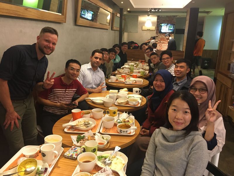
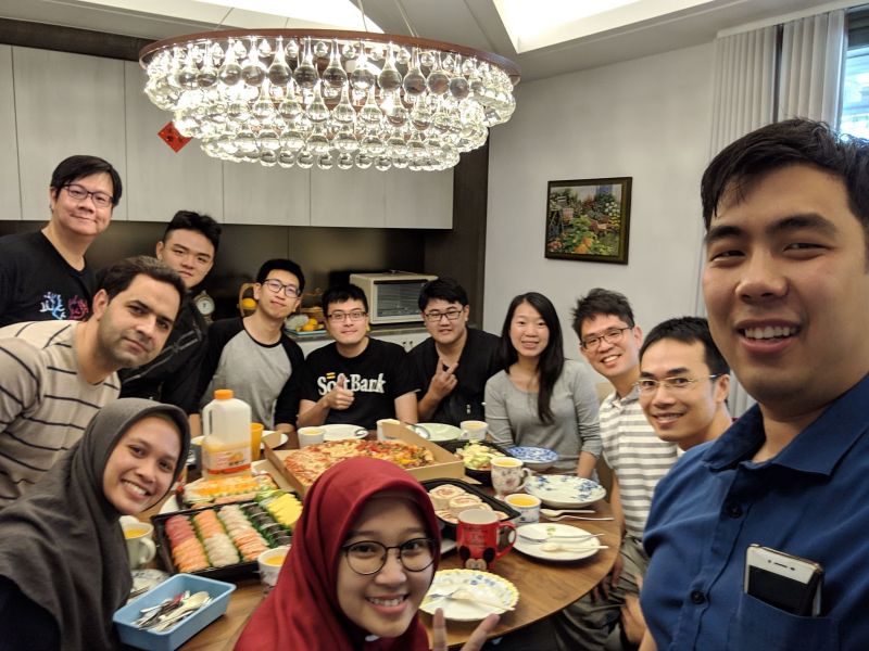
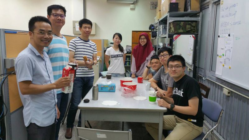
Lunch Lab Gathering Fall Semester 2020
|
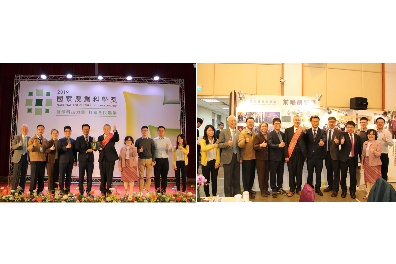 |
農委會2019國家農業科學獎
|
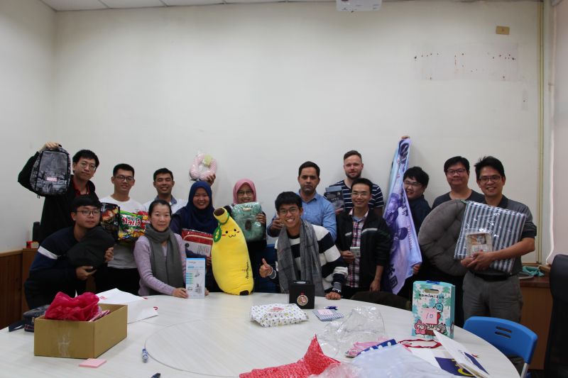 |
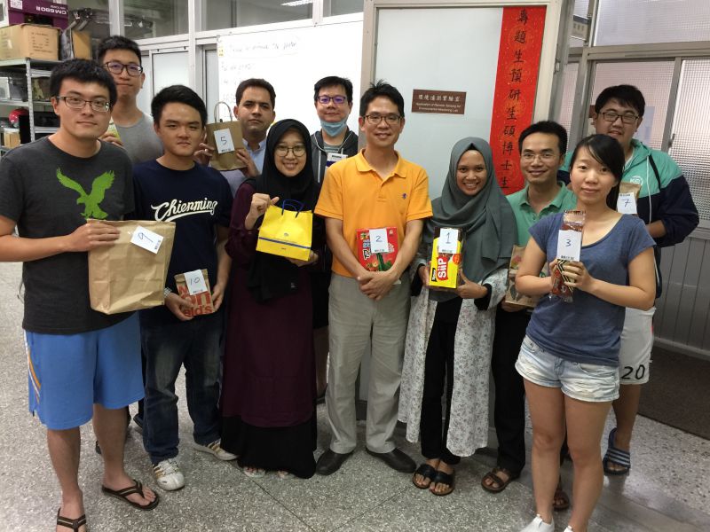
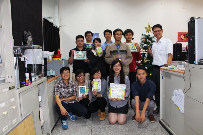
Gift Exchange 2019
|
 |
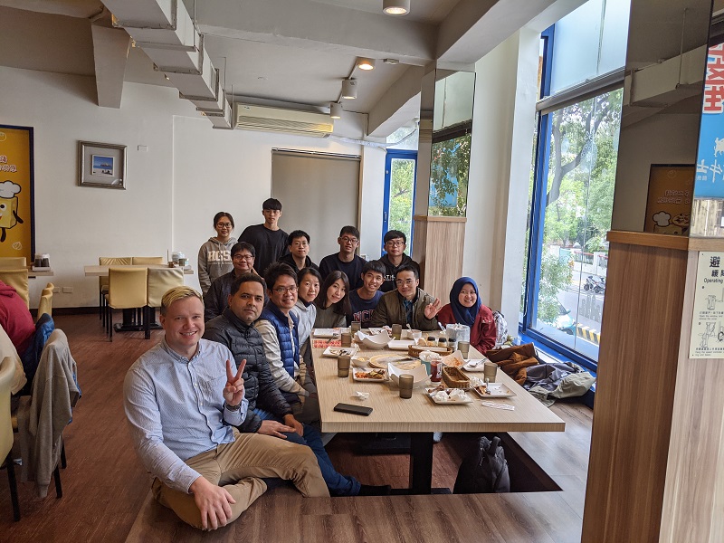
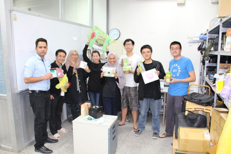
Lunch Lab Gathering Fall Semester 2019
|
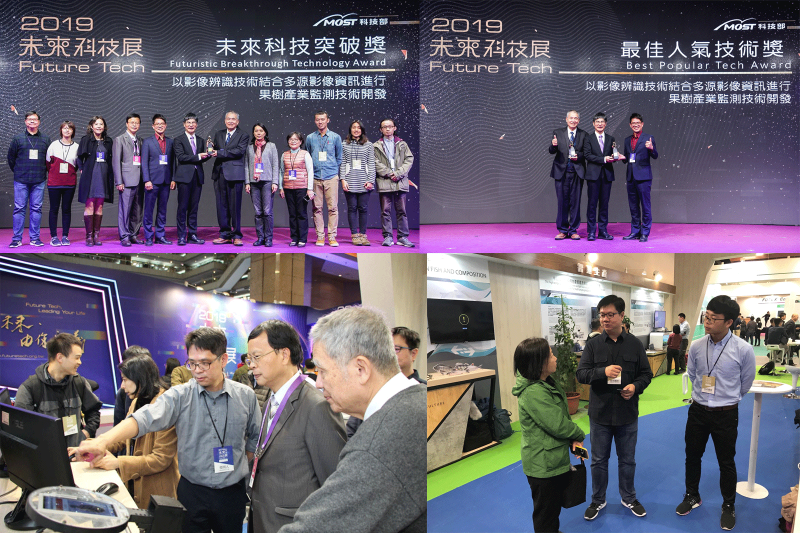 |
科技部2019未來科技展
|
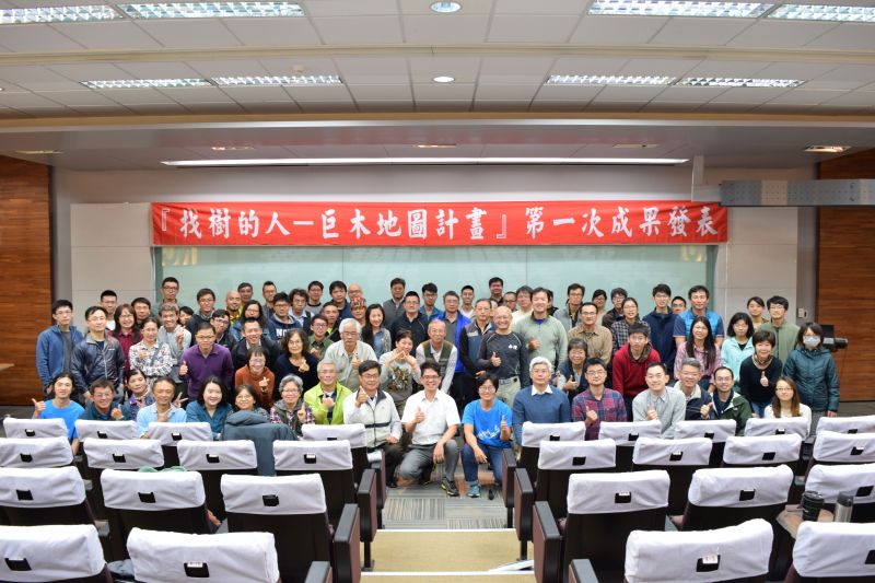 |
找樹的人-巨木地圖計畫」第一次成果發表會
|
 |
ER3DS 2019
|
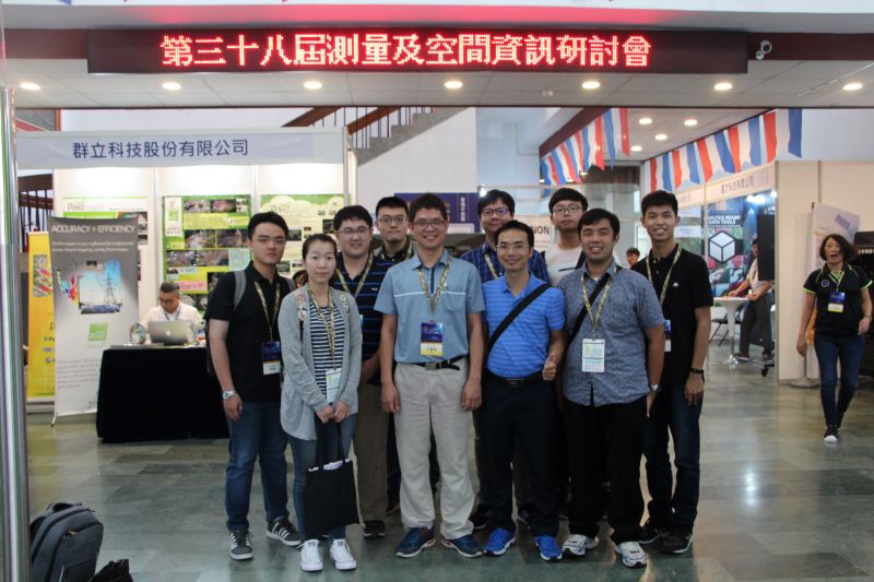 |
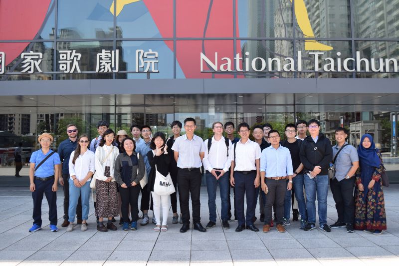
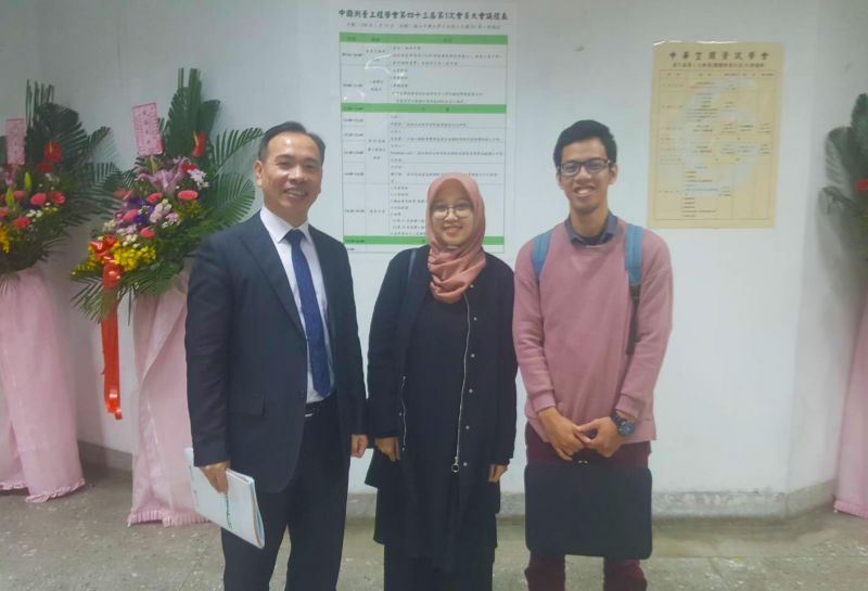
The 38th Conference on Surveying and Geomatics
|
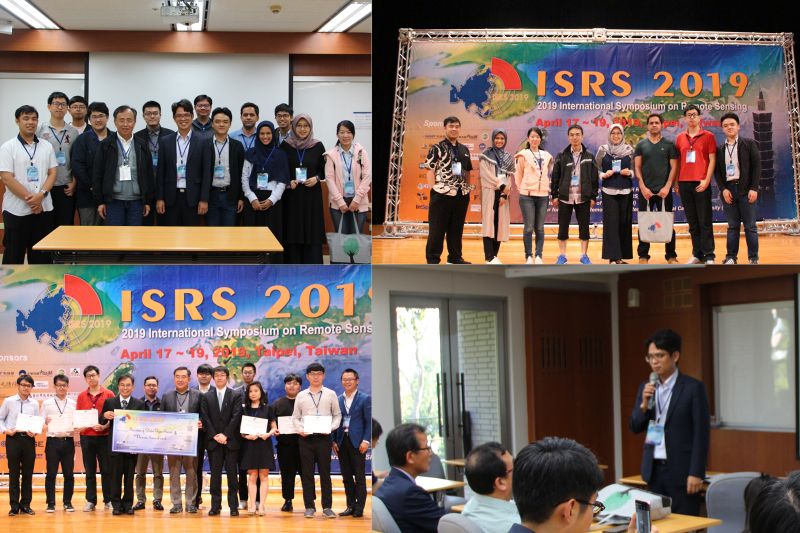 |
ISRS 2019
|
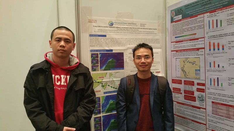 |
IOCS 2019
|
 |
ER3DS 2019
|
 |
地點:國立中興大學土木環工大樓 B1 第一會議室 -
|
 |
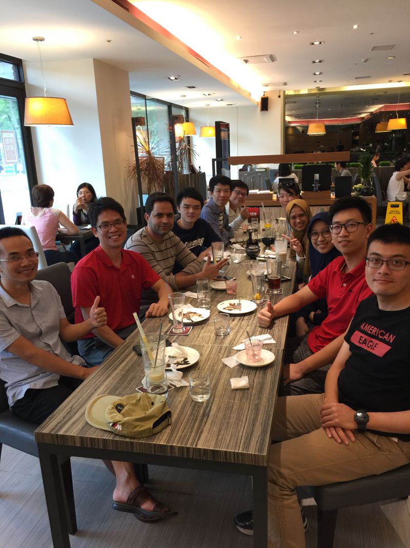
Lunch Lab Gathering Fall 2018
|
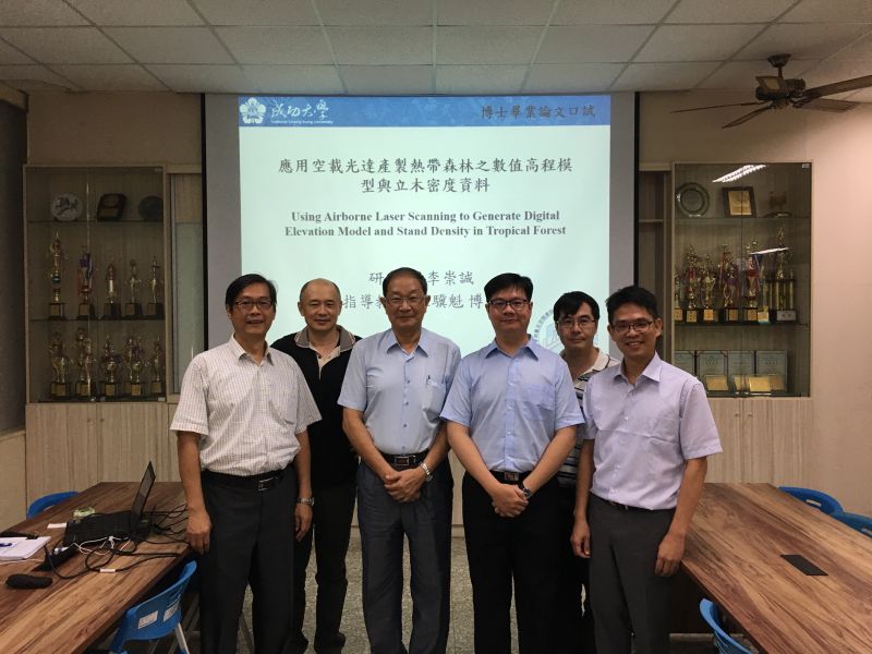 |
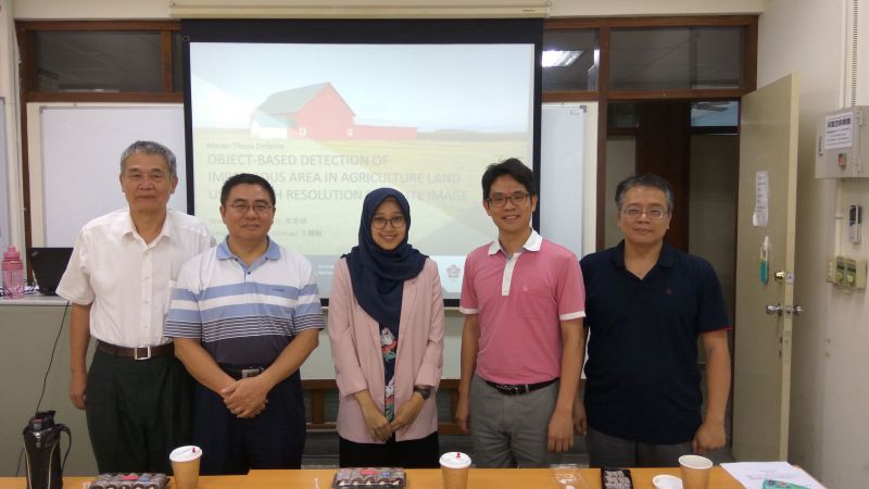
Oral Defense PhD Student -
|
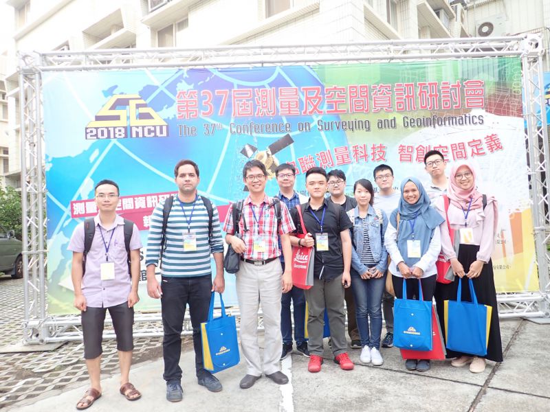 |
The 37th Conference on Surveying and Geoinformatics
|
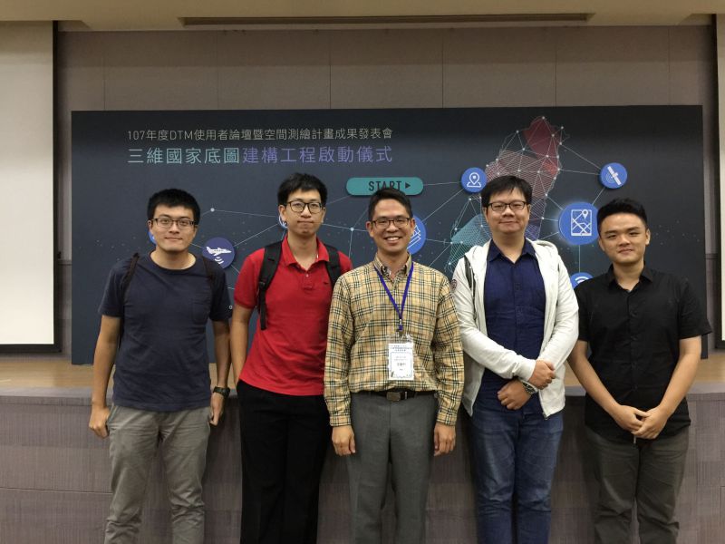 |
107年度DTM使用者論壇暨空間測繪計畫成果發表會
|
 |
Oral Defense Master Student -
|
 |
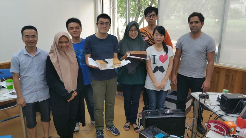
Lunch Lab Gathering Spring Semester 2018
|
 |
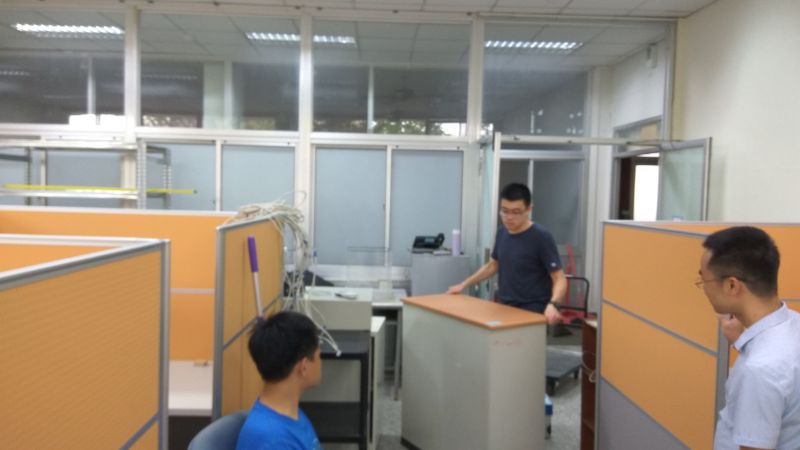
Lab Renovation Ceremonial Party
Location: ARSEM Lab Date: 2018.06.15 |
 |
Chung-Cheng Lee and Chih-Chiao Lin Birthday
Location: ARSEM Lab Date: 2018.06.05 |
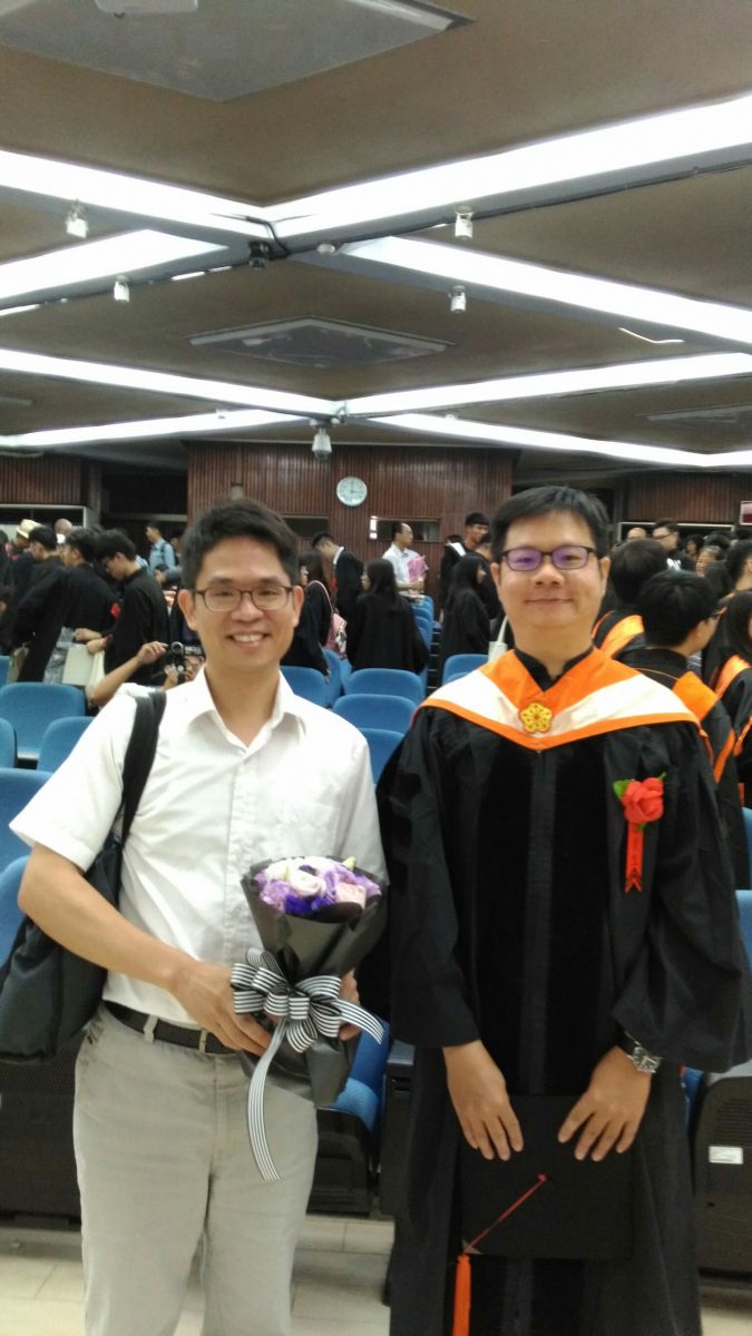 |
Graduation Ceremony 2018
Location: Department of Geomatics, NCKU Date: 2018.06.02 |
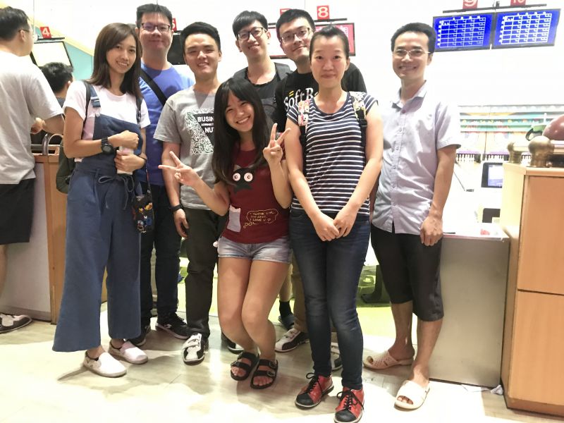 |
Bowling Team Competition
Date: 2018.05.18 |
 |
Lab Reconstruction
Location: ARSEM Lab Date: 2018.03.08 ~ 2018.03.20 |
 |
Nura and Ching-Hsiang Lin Birthday
Location: ARSEM Lab Date: March, 2018 |
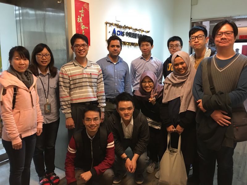 |
Chung Hsing Surveying (CHS) Visit
Location: CHS Company, Taichung, Taiwan Date: 2018.01.24 |
 |
Prof. Wang and Kuei-Chia Chen Birthday
Location: ARSEM Lab Date: 2018.01.11 |
 |
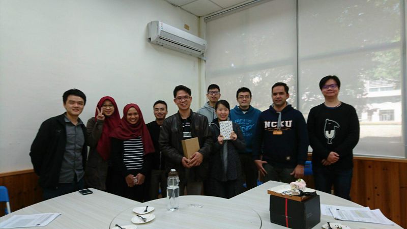
Gifts Exchange 2018
Location: ARSEM Lab Date: 2018.01.02 |
 |
Lunch Lab Gathering Fall Semester 2017
Location: Greeness Hot Pot, Tainan, Taiwan Date: 2017.11.28 |
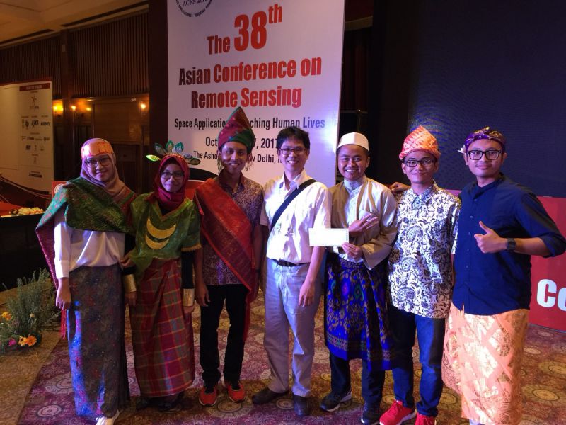 |
ACRS 2017
Location: New Delhi, India Date: 2017.10.23 ~ 2017.10.27 |
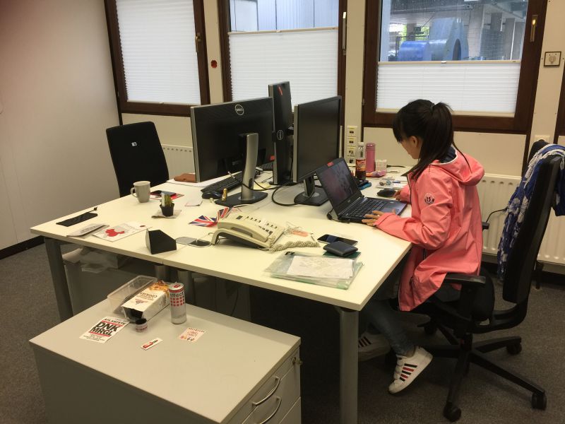 |
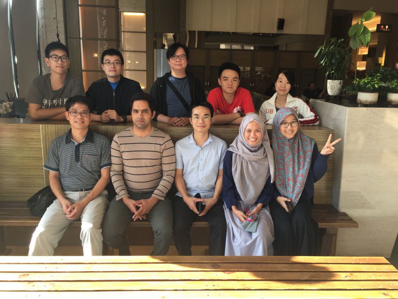
PhD Exchange to Heidelberg University 2017
Location: Heidelberg University, Germany Date: July, 2017 |
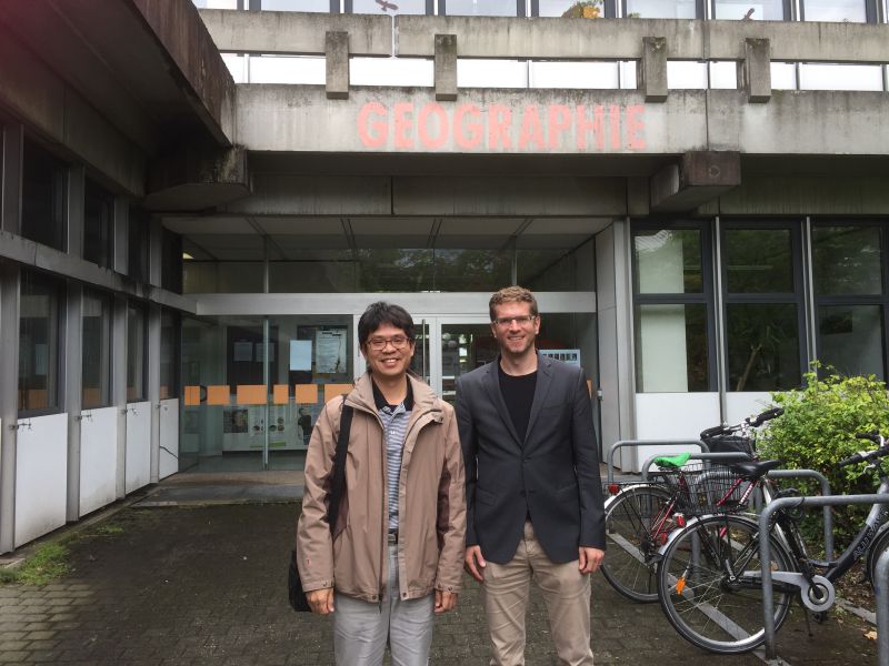 |
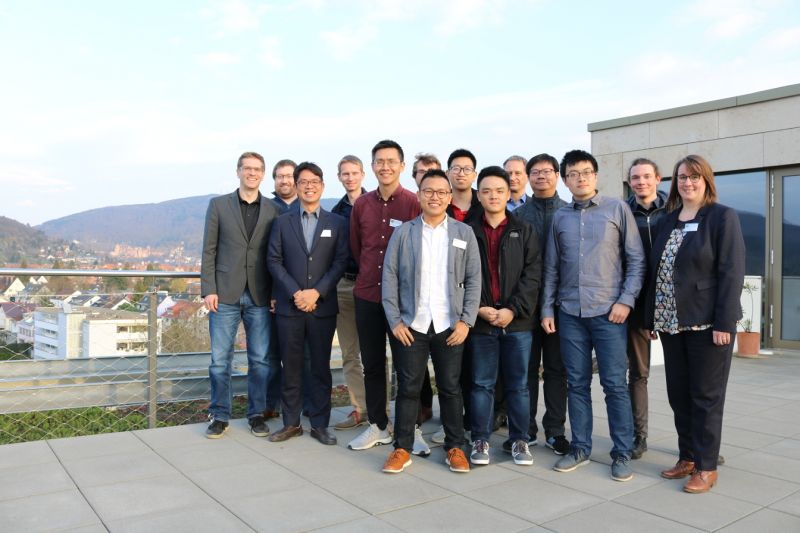
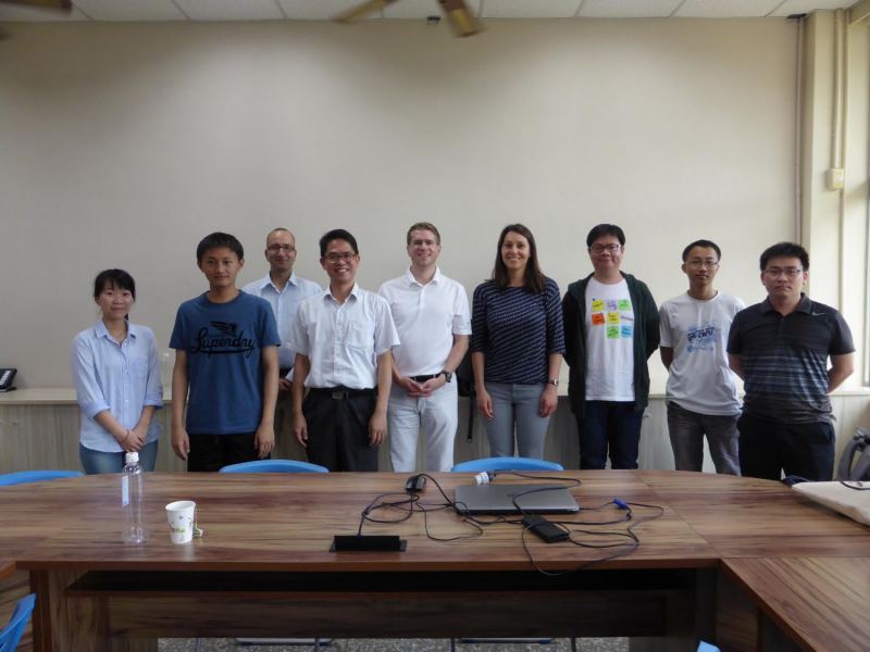
3D-TAIGER in Germany 2017
Location: Heidelberg University, Germany Date: July, 2017 |
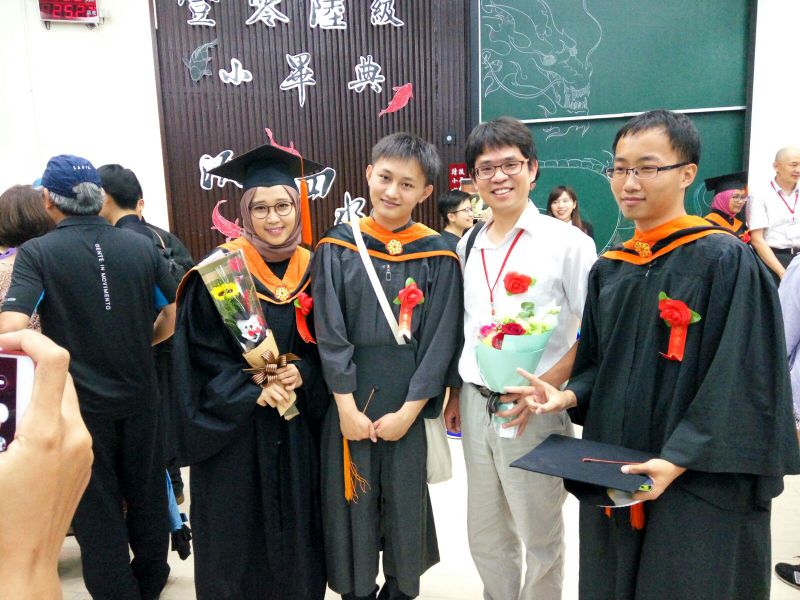 |
Graduation Ceremony 2017
Location: Department of Geomatics, NCKU Date: 2017.06.03 |
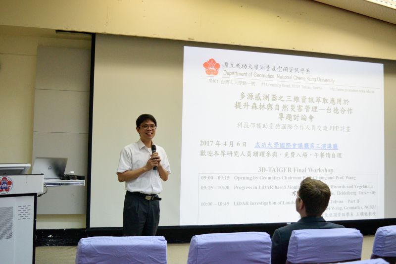 |
3D-TAIGER in Taiwan 2017
Location: Department of Geomatics, NCKU Date: April, 2017 |
 |
3D-TAIGER in Germany 2016
Location: Heidelberg University, Germany Date: September, 2016 |
 |
3D-TAIGER in Taiwan 2016
Location: Department of Geomatics, NCKU Date: April, 2016 |
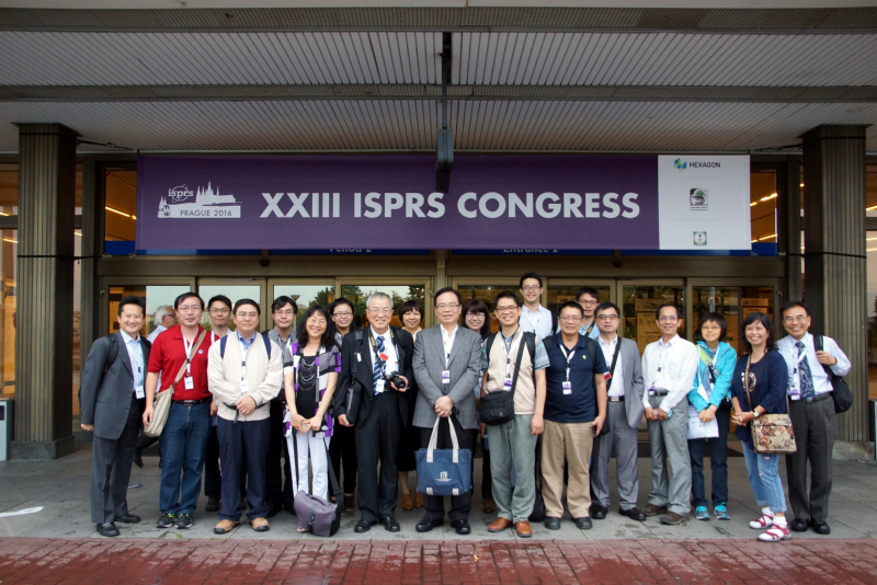 |
ISPRS Congress 2016
Location: Prague, Czech Date: 2016.07.12 ~ 2016.07.19 |
 |
Tectonics, Geomatics and Engineering
Location: Mapua Institute of Technology, Manila, Philippines Date: 2016.07.07 |
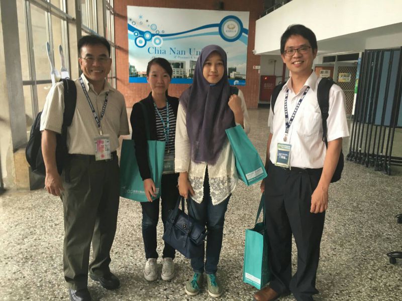 |
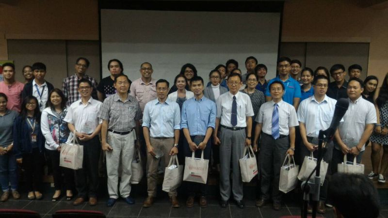
TGIS 2016
Location: Chia Nan University of Pharmacy Science Date: 2016.06.27 ~ 2016.06.28 |
 |
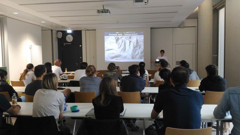
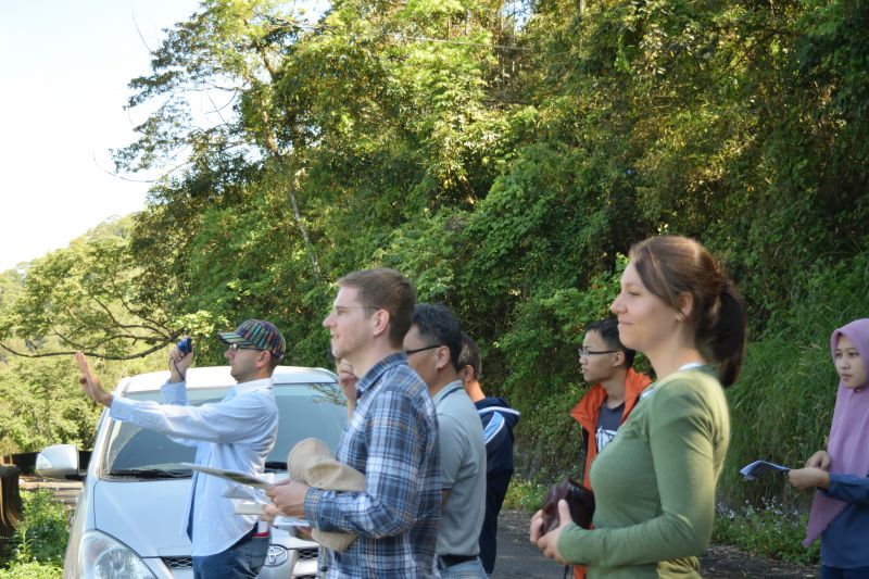
3D-TAIGER in Taiwan
Multi-Source 3D Geoinformation for Improved Managemen of Forest Location: Department of Geomatics, NCKU Date: 2016.04.06 ~ 2016.04.08 |
 |
Gifts Exchange 2015
|
|
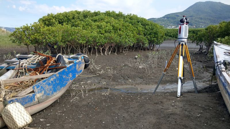
Mangrove Laser Scanning
Terrestrial Laser Scanner to do tree segmentation
Location: Waziwei Nature Reserve, Bali District, New Taipei City, Taiwan Date:2019.08.27-2019.08.28 |
|
3D Modeling of Bent Mailbox in Taipei
Combine terrestrial laser scanner and close-range photogrammetry to construct the mailbox 3D model
Location: Longjiang Rd., Taipei, Taiwan Date:2015.08.19 |