
A. F. Habib
-0001/11/30


| Email: | ahabib@purdue.edu |
| 學歷: | 1986 B.Sc. (Distinction with Honor) Civil Engineering, Faculty of Engineering, Cairo University, Cairo, Egypt 1989 M.Sc. Civil Engineering (Specialty: Photogrammetry and Remote Sensing), Faculty of Engineering, Cairo University, Cairo, Egypt. 1993 M.Sc. Geodetic Science (Specialty: Photogrammetry and Remote Sensing), Faculty of Mathematical and Physical Science, The Ohio State University, Columbus, Ohio, USA. 1994 Ph.D. Geodetic Science (Specialty: Photogrammetry and Remote Sensing), Faculty of Mathematical and Physical Science, The Ohio State University, Columbus, Ohio, USA. |
| 經歷: | 2014/8- Professor, Lyles School of Civil Engineering, Purdue University, USA. 2006/7-2014/7 Professor, Department of Geomatics Engineering, The University of Calgary, Canada. 2002/9- 2006/6 Associate Professor, Department of Geomatics Engineering, The University of Calgary, Canada. 1996/7 -2002/8 Assistant Professor, Department of Civil and Environmental Engineering and Geodetic Science, The Ohio State University, USA. 1995/1 -1996/6 Senior Photogrammetric Engineer, TransMap Corporation, USA. 1994/9 -1994/12, Teaching Associate, Department of Geodetic Science and Surveying, The Ohio State University, USA. 1992/9 -1994/8 Research Associate, Department of Geodetic Science and Surveying, The Ohio State University, USA. 1990/9 -1992/9 Teaching Associate, Department of Geodetic Science and Surveying, The Ohio State University, USA. 1986/9-1990/8 Assistant Lecturer, Public Works Department, Cairo University, Egypt. |
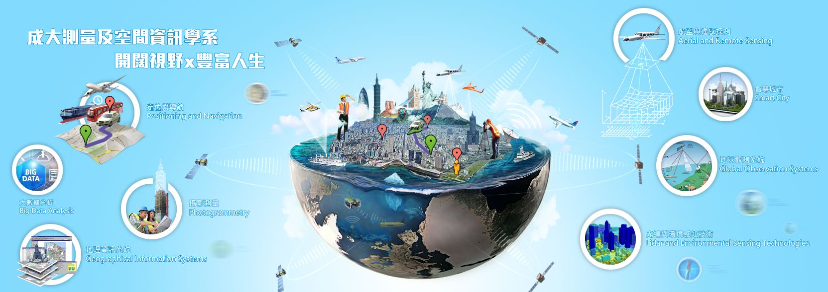
| 專長: | 攝影測量, 遙感探測 |


